Map Catalog 2010
Wednesday, April 21, 2010
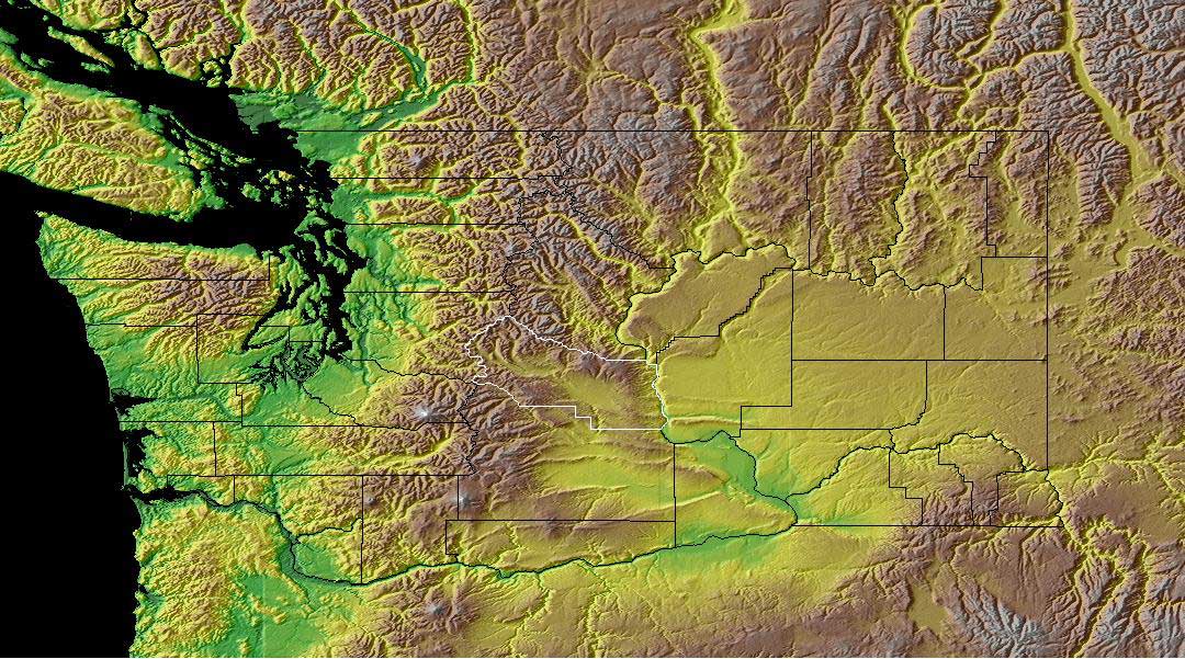
Hypsometric Map
A Hypsometric Map can show the different landscape by
shading in the different elevations of the land with certain colors.
lu.com/odlis/odlis_h.cfm
No comments:
Post a Comment
Newer Post
Older Post
Home
Subscribe to:
Post Comments (Atom)
Followers
Blog Archive
▼
2010
(50)
►
January
(1)
▼
April
(49)
Planimetric Map
Thematic Map
Isobars
Cadastral Map
Star Plot
Similarity Matrix
DEM
Hypsometric Map
Topographic maps
Propaganda Map
Stem and Leaf Plot
Windrose
Unstandardized Chloropleth Map
Histogram
Climograph
Statistical Map
PLSS Map
Dot Density Map
Proportional Circle Map
Isoline Maps
Flow Map
Cartogram
Cartographic Animations
Infrared Ariel Photo
Doppler Radar
LIDAR
Isotach Map
Isohyet Map
Isopach Map
Isopleth Map
DRG
According to the USGS Website "The U.S. Geological...
DOQQ
Classed Choropleth Map
Unclassed Choropleth Maps
Correlation Matrix
Box Plot
Parallel Coordinate Graph
Triangular Plot
Windrose
Scatterplot
Population Profile
Bilateral Graph
Accumulative Line Graph
Bivariate Choropleth Map
Univariate Choropleth Map
Nominal Area Choropleth
Index Value Plot
Standardized Choropleth Map
About Me
Maegan Lauren
Hello, I decided to return to blogging after I realized that I might really have something to stay. I am a wife, educator and aspiring mother. Follow me on my journey.
View my complete profile
No comments:
Post a Comment